Garibaldi Lake.
This is Barrier Lake, still further along, but there was no rushing creek water sound once we left Lesser Garibaldi Lake.
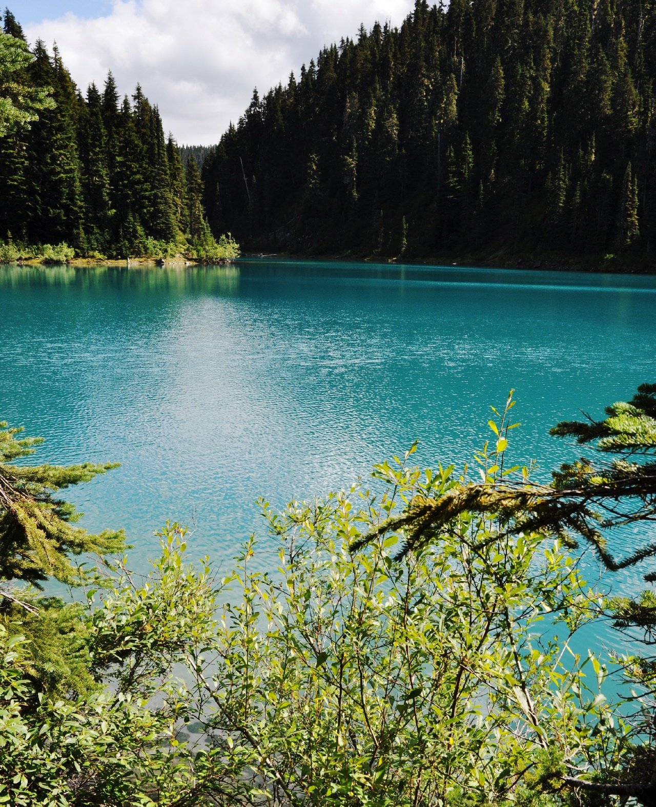
And this is the outflow channel from Barrier Lake. It's dry.
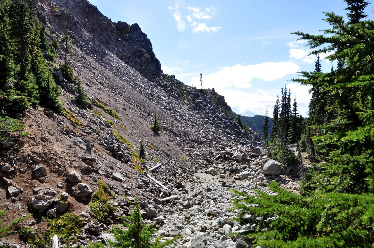
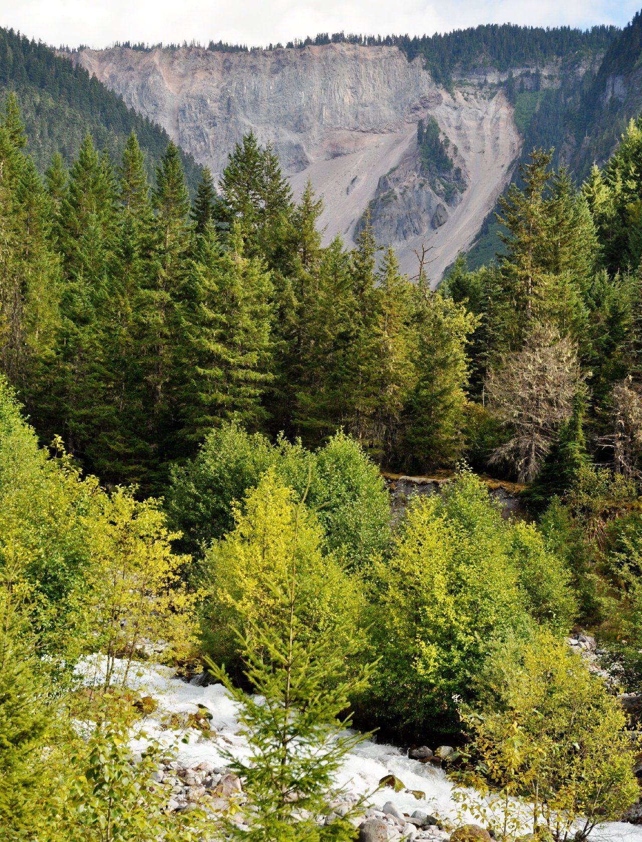
The barrier.
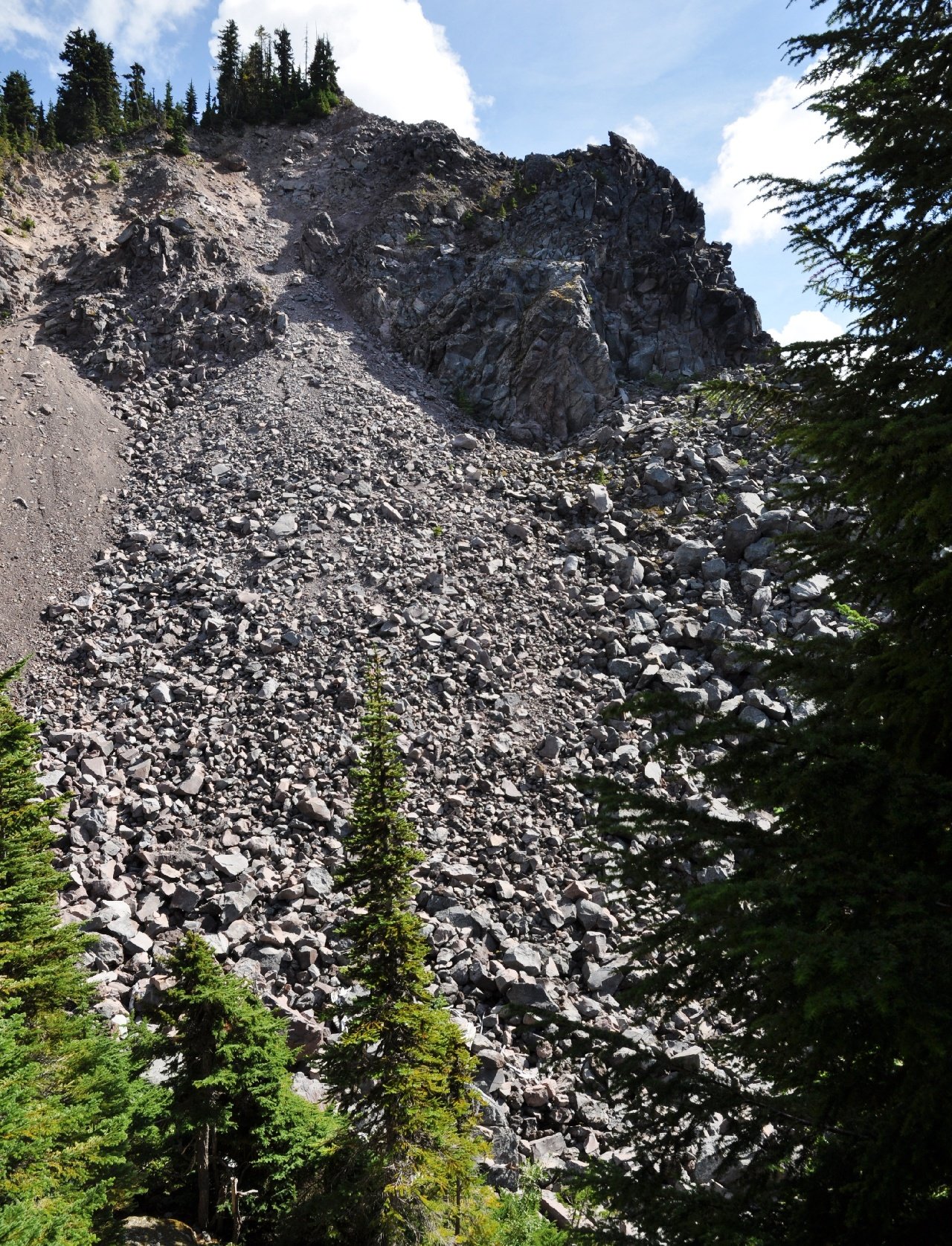
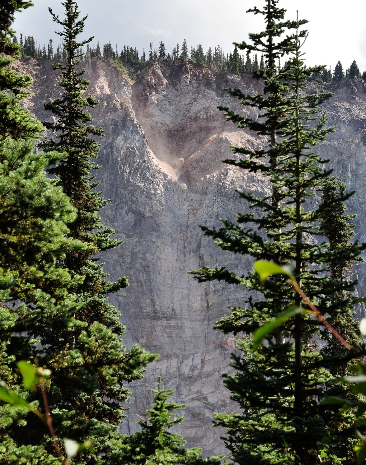
A very brittle and porous rock face.
Not until we got close to the parking lot did we hear a creek again. And as you can see it has quite a lot of water.
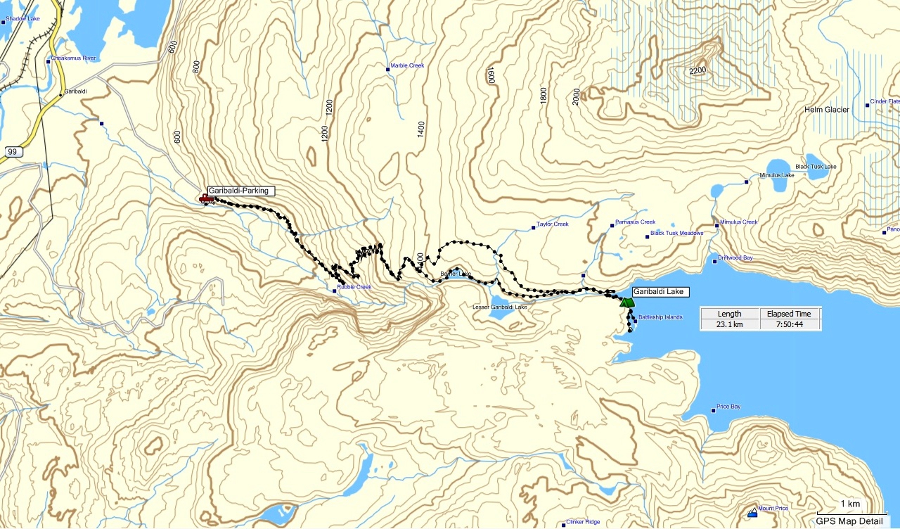
This is a screen image from the downloaded data in the GPS that I had taken with us. From this map, you can see exactly what the
barrier is. During the last ice age, the valley that Garibaldi Lake is in was full of glacier. Under this glacier a volcano lava flow melted its way to the
other side of the valley, and basically formed a dam across the valley. When the glaciers all melted, this barrier caused Garibaldi Lake to form behind it.
Unfortunately the porous and brittle rock of the barrier is eroding rapidly, and there is a risk that it will fail, and the lake will drain very quickly.
This will be bad news for Squamish, ~20km downstream.
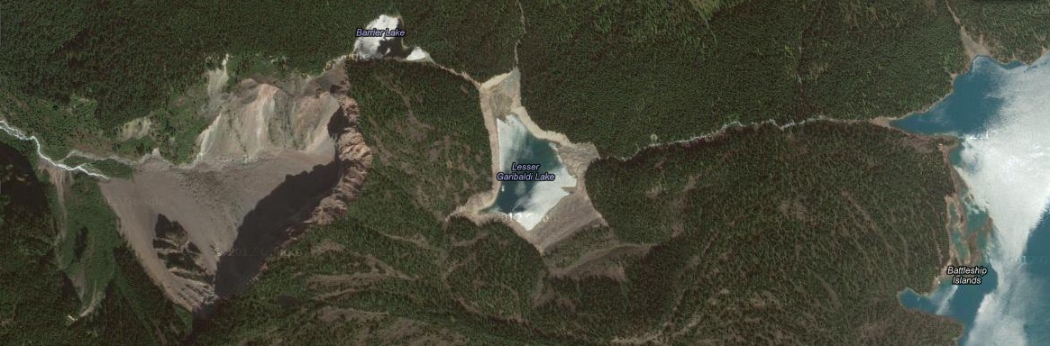
And those disappearing and re-appearing streams? Well, this is a satellite image, which clearly shows the creek on
the left of the map, and that it seems to be coming out from under all the rock fall. So there must be an underground path for the water leaving Lesser Garibaldi
Lake, and this stream has already cut 1/4 of its way through the barrier. So check out Garibaldi Lake, while it's still there!
Back to the 2012 page.