A view from the air!
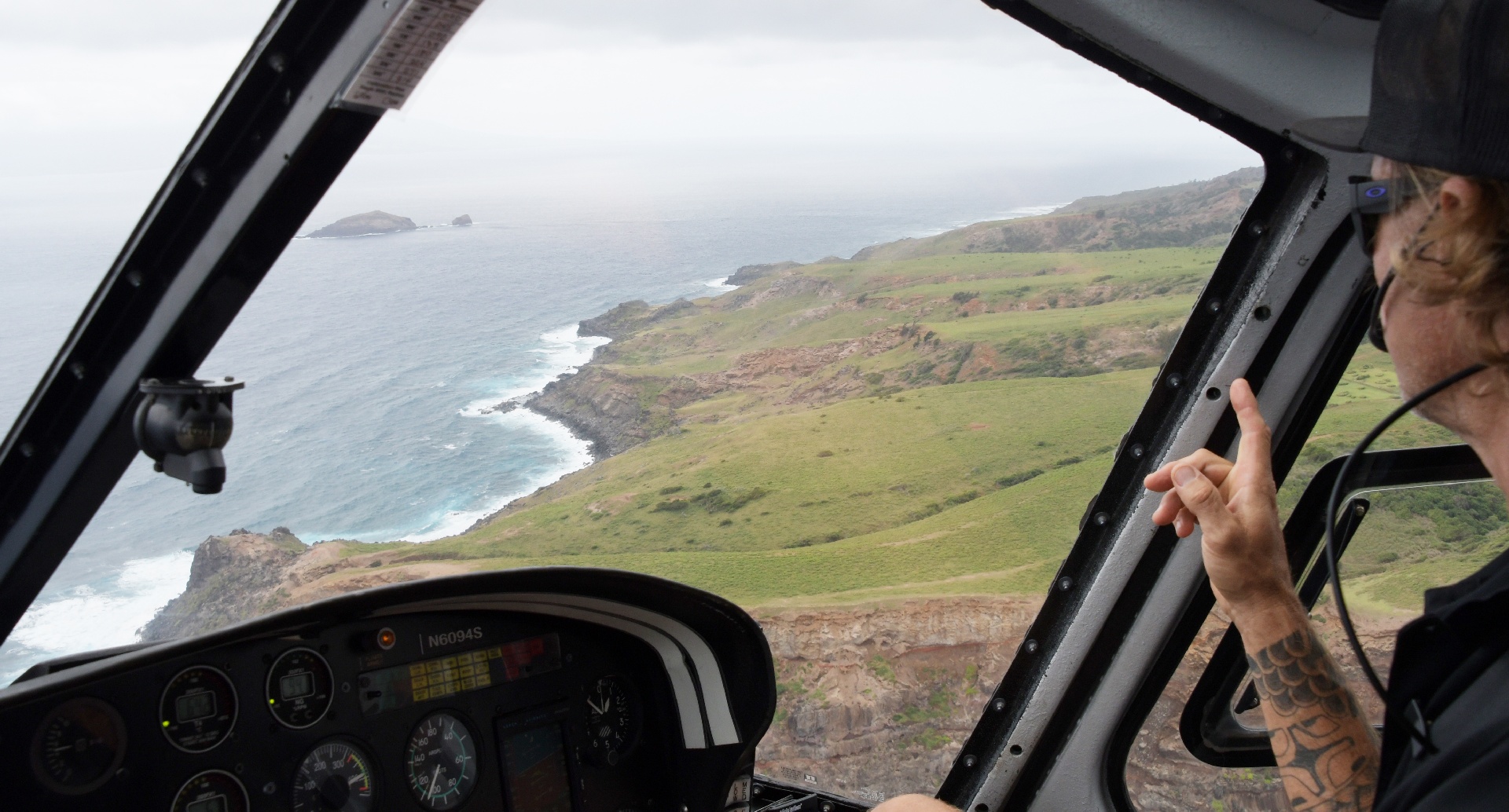
The rain on the window was blown away pretty quickly by the propeller downdraft!
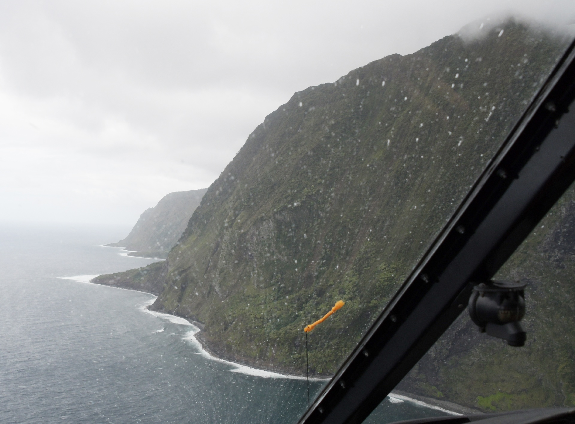
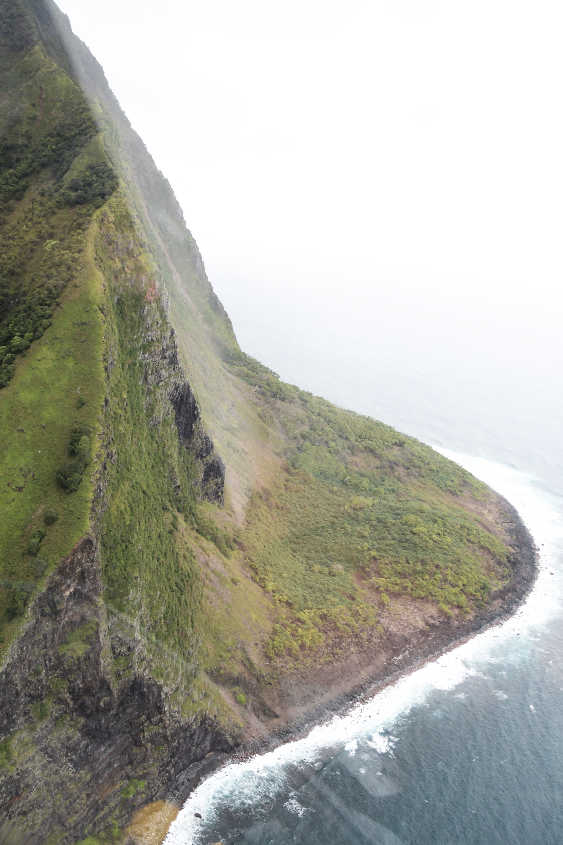
Erosion is really chewing away at these cliffs. Pilot Tim says: Well actually, some of Pilot Tim's geography and oceanography is not supported by the details on that 3D map.
Pilot Tim says: "Molokai is only the southern edge remnant of a larger volcano. The rest of the volcano collapsed and created a 5,000 ft tsunami".
And the map says: Unlikely. The northern side ocean bottom profile does not support this. Molokai likely always was a narrow island, not much wider than it is now.
The predominant winds and waves arrive from the north, so the crumbly volcanic rock on this side is getting chewed away quite aggressively.
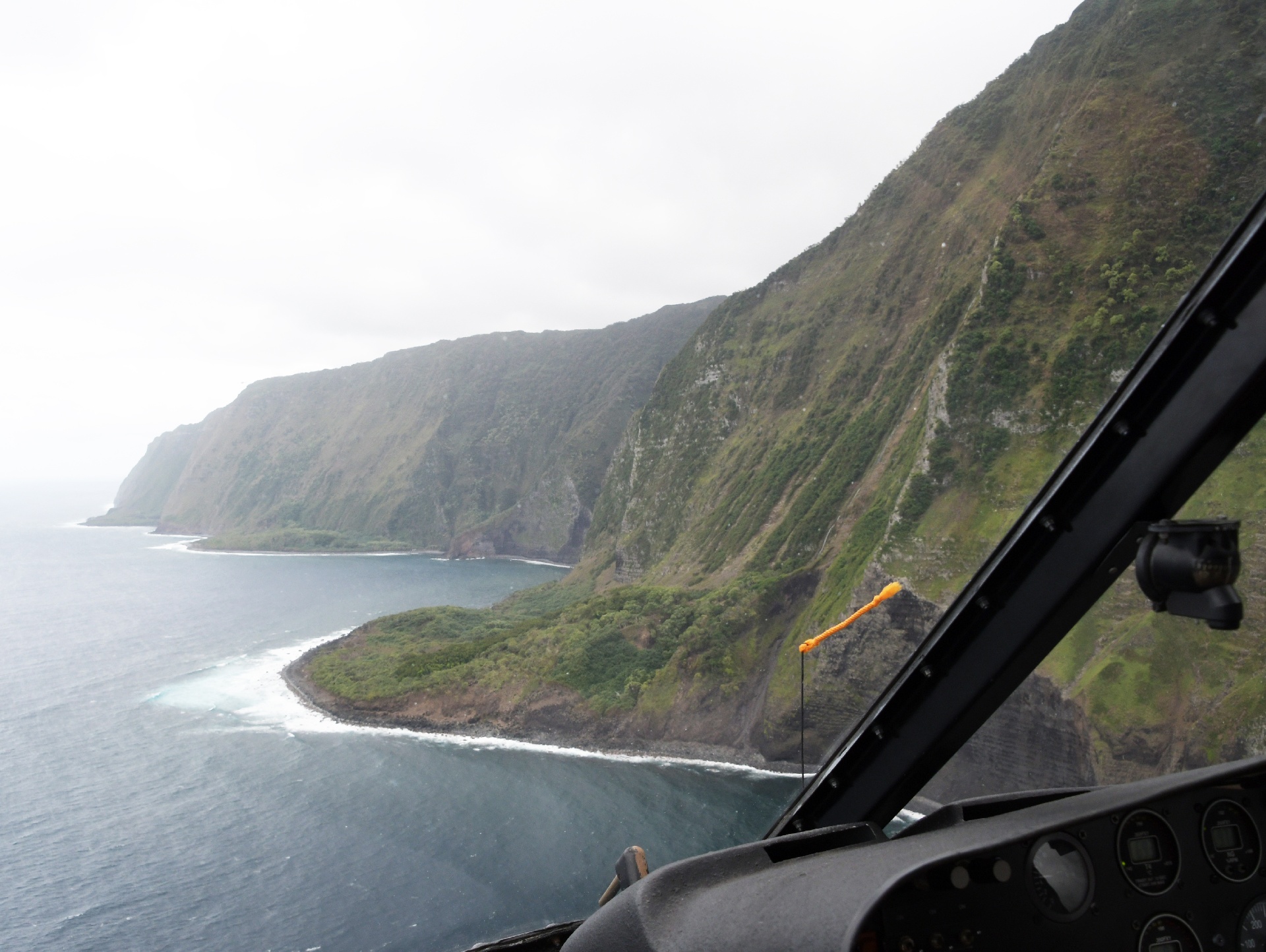
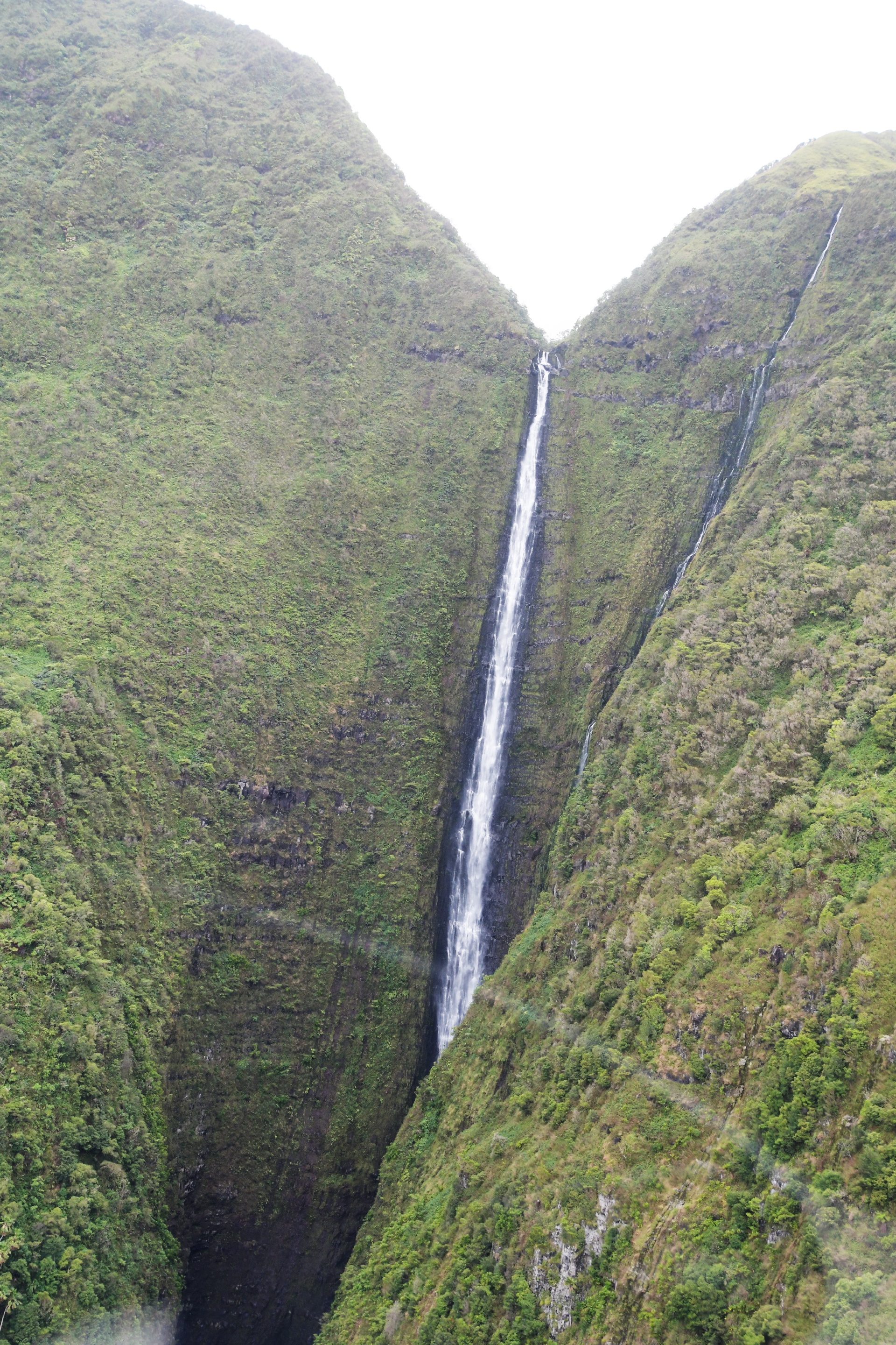
Now that's a waterfall!
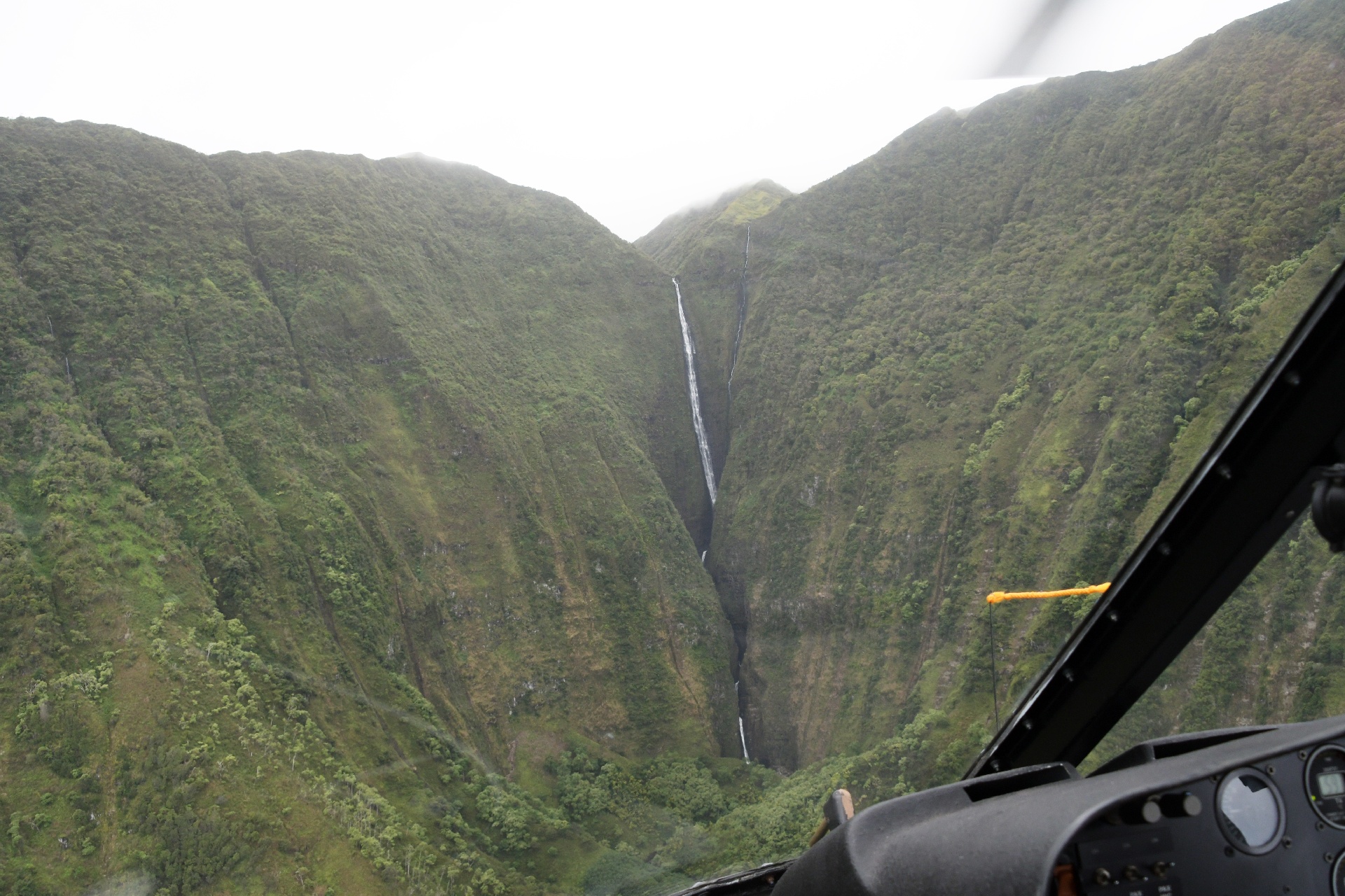
And we get an even closer look!
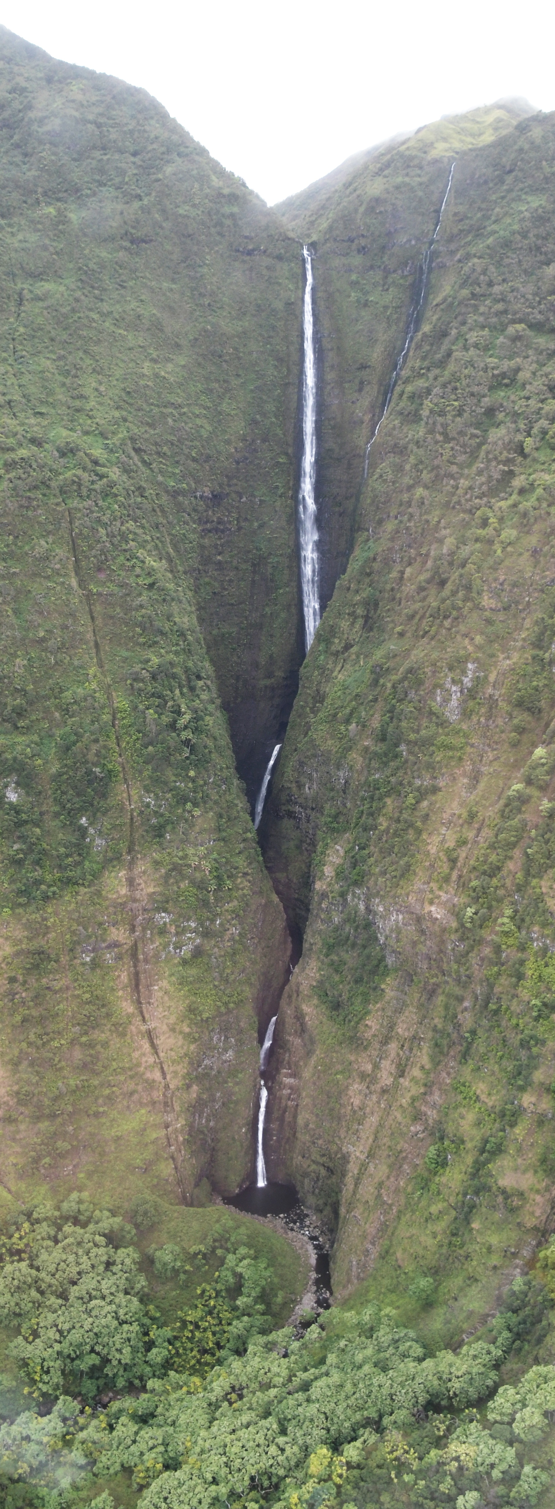
And still closer! Pilot Tim is a very good helicopter pilot...
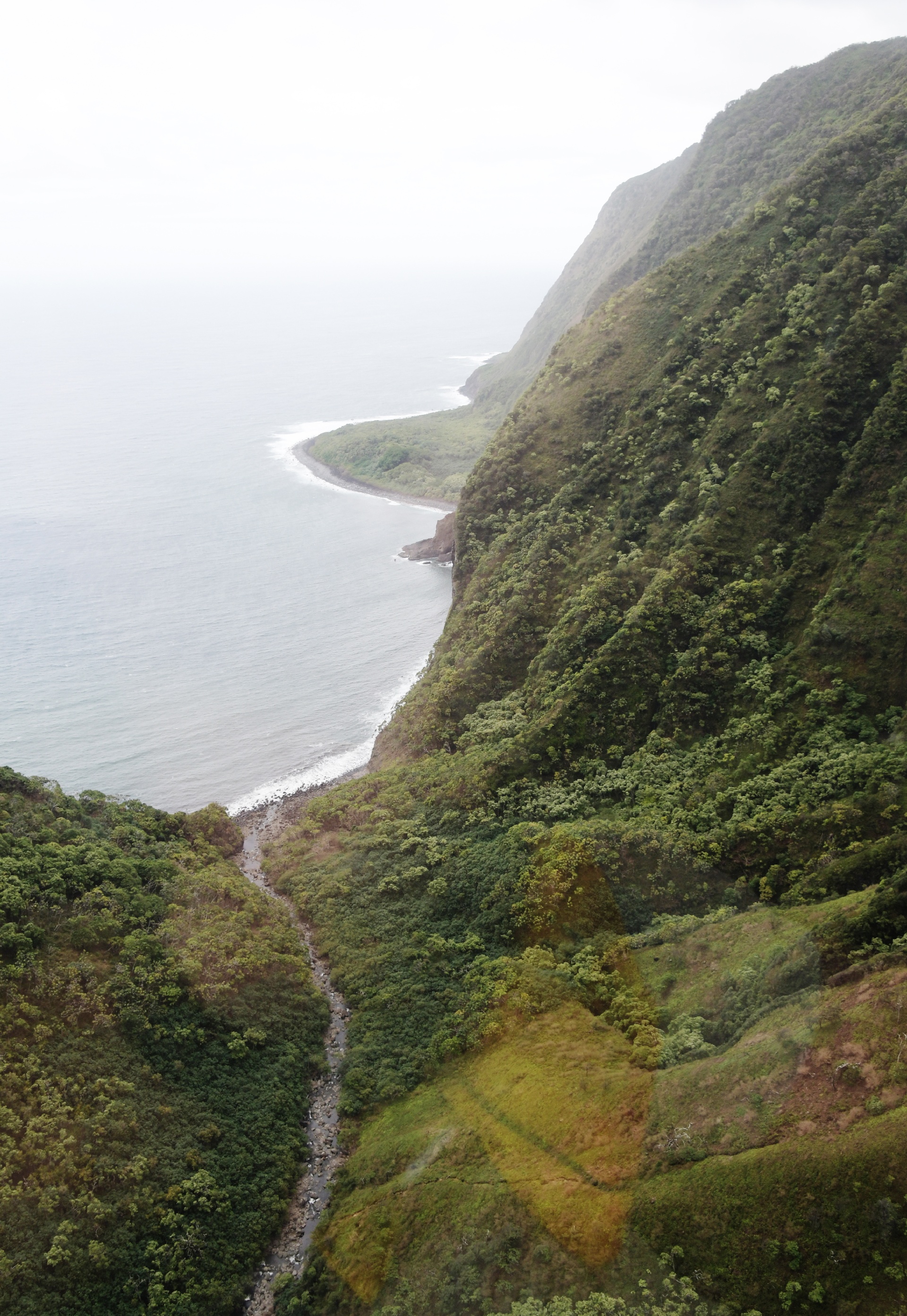
Looking back out the valley...
The cliffs are just so amazing to see. Part of this cliff collapsed and made a nice big rocky beach!
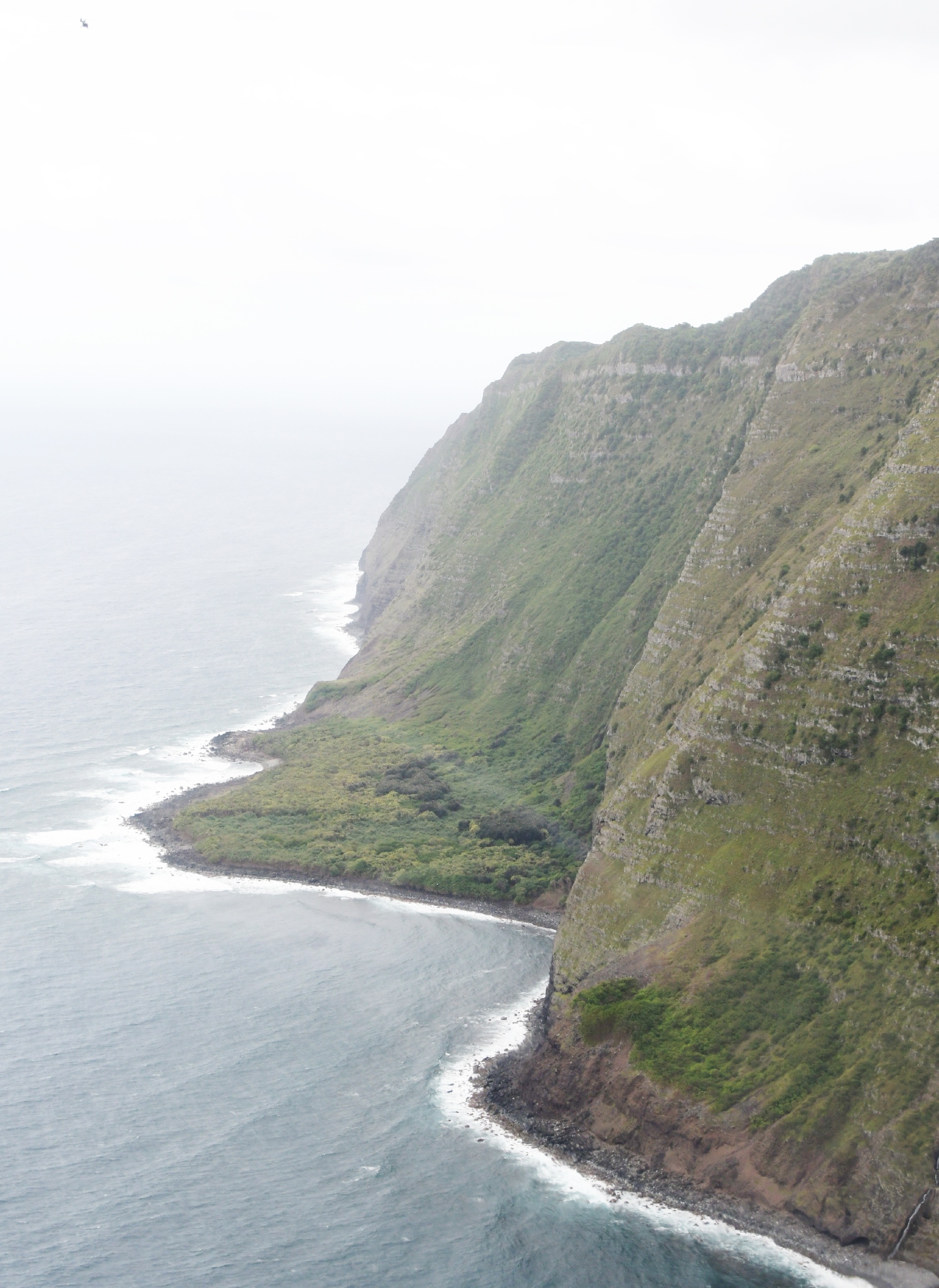
The obvious layer upon layer of lava flow that built up the island are so visible! Pilot Tim says: "You can see the many sedimentary rock layers".
Uhhh... This is volcanic build up, not tectonic plate upheaval of formerly underwater sedimentary deposits...
We're back at the end of Molokai, and heading towards Maui.
Pilot Tim says: "The surrounding ocean is 30,000 ft deep, and the channel between Molakai and Maui is 6,000 ft deep. That's why the whales like it here".
...and the map says: Well it's more like about 1,000 ft deep between Molokai and Maui. 10 miles out into the Pacific is where it gets to 6,000 feet deep.
And the channel between Molokai and Lanai is less than 300 ft deep, and between Maui and Lanai it is less than 60 ft deep.
...and the whales like protected warm waters for calving...
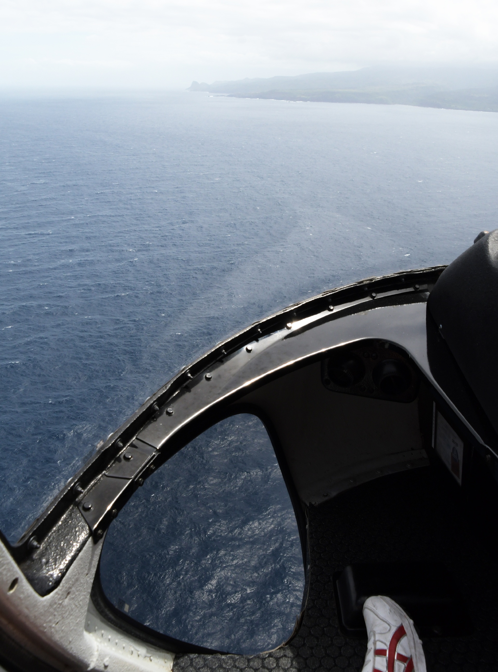
On the channel crossing to Maui, I was looking for whales in the footwell window. ...next time wear black shoes, like Ninja Yuko!
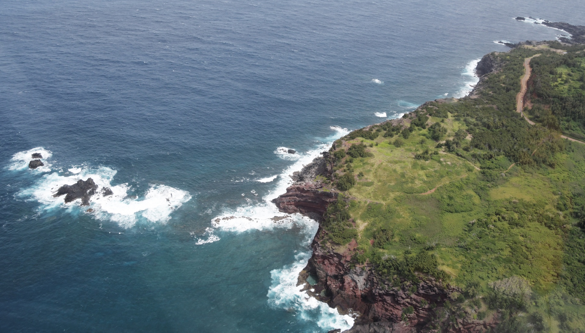
Heading back along the coastline of Maui. Yuko and I both liked the look of that road!
...next page.