Grindavik and Krauma.
We drove down to the region around the Blue Lagoon, and checked out Grindavik, and afterwards went north to Krauma hotsprings, near Husafell..
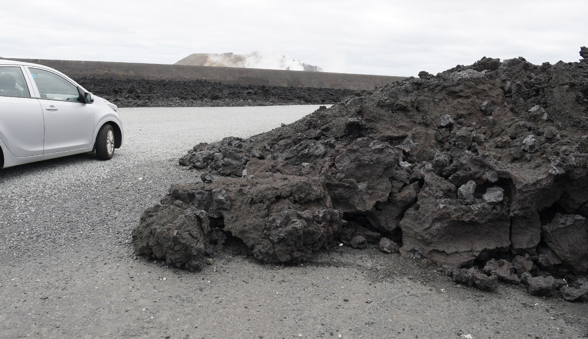
Blue Lagoon has been threatened by multiple lava flows in the past 6 years, just to the north and just to the south.
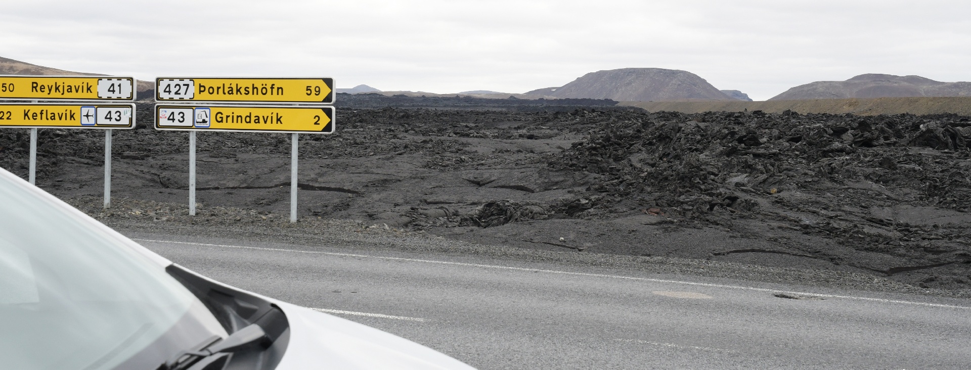
This is last year's lava flow, which covered this road ! That's the Blue Lagoon steam in the distance.
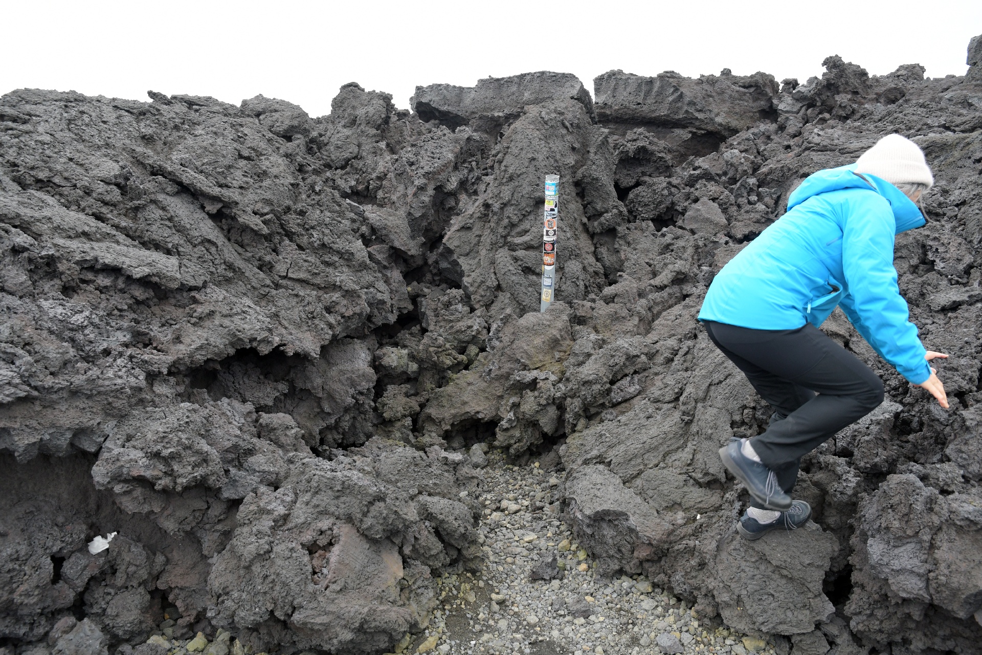
Kids. They climb anything ! This lava had a lot of sharp edges...
Closer to Grindavik. Iceland grows by splitting at its seams in the middle, and stretching sideways, east and west.
Grindavik found itself in the middle of this splitting zone and had to be evacuated. The damage appears to have all be repaired now.
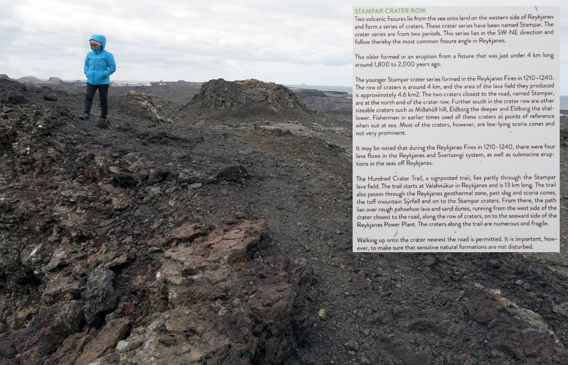
West of Grindavik, we stopped at this small crater.
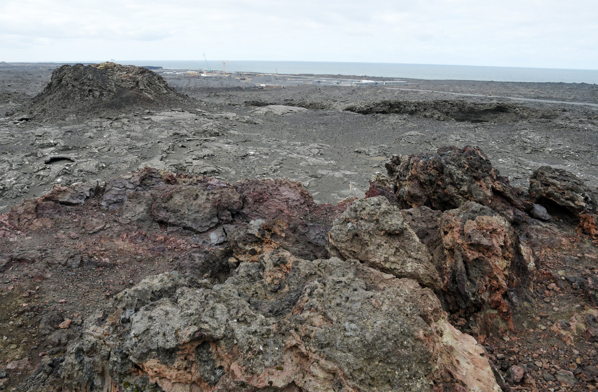
There was a row of small craters here, formed when a fissure split this region.
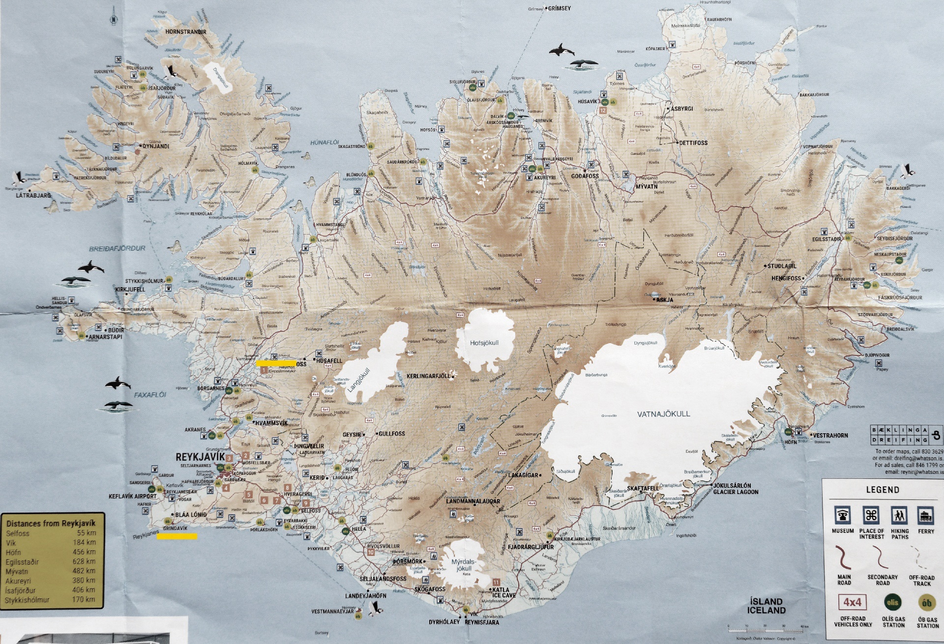
This map shows where these fissures tend to occur. Blue Lagoon is not in a safe location.
Even though it (and the nearby power plant) are protected from lava flows (so far...) by a large dyke, there is no defense should a fissure open up under it.
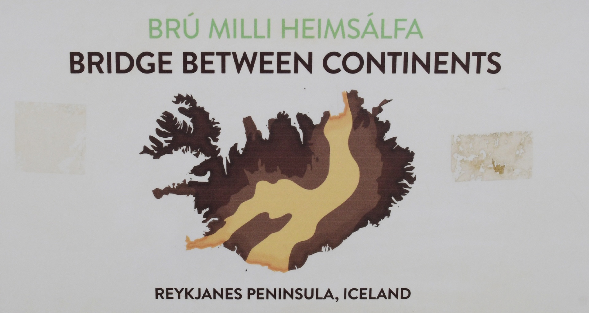
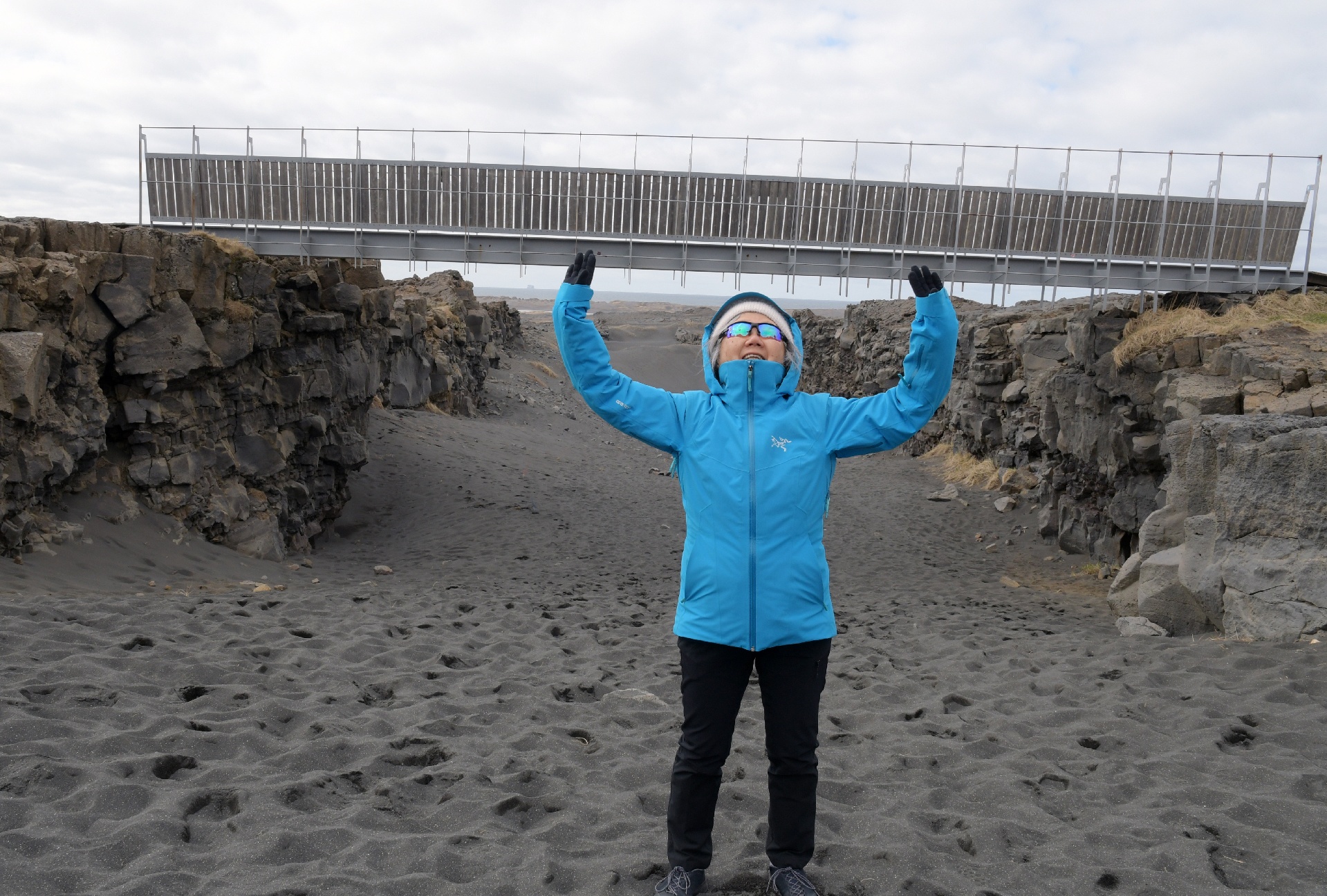
"The Bridge Between Continents", a tourist attraction over an old fissure location.
Yuko is facing north, so Europe is on the left of the image, and North America is on the right side of the image.
Iceland is actually attached to Greenland and North America. Its east side keeps trying to stay close to Europe!
Needing to find a warmer location to visit, we drove up to Krauma hotsprings. It only took about 1.5 hrs.
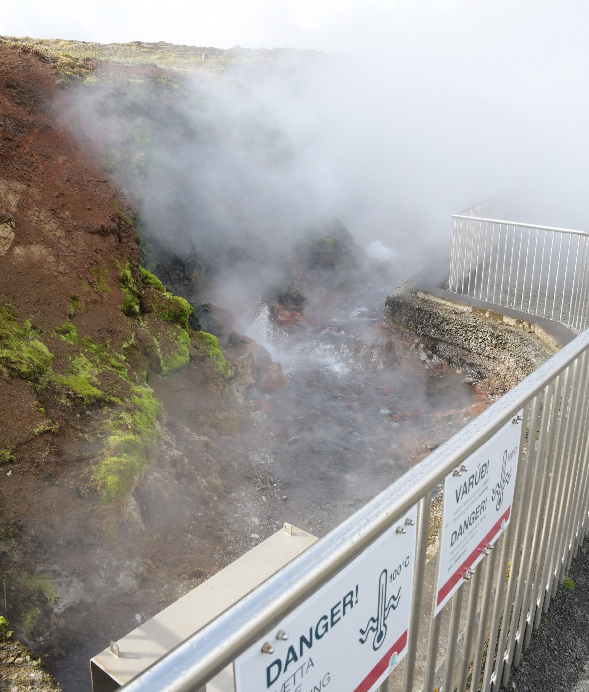
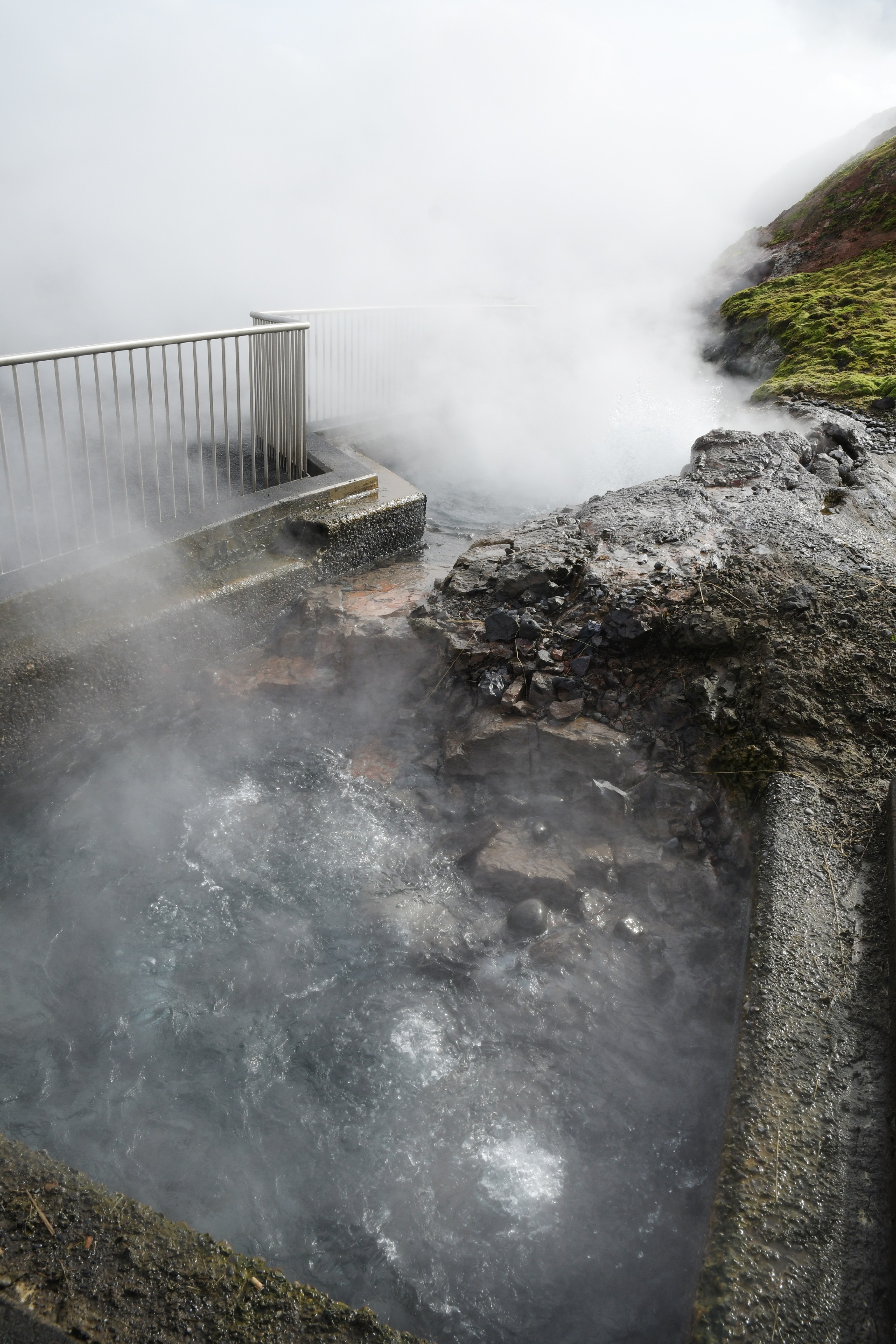
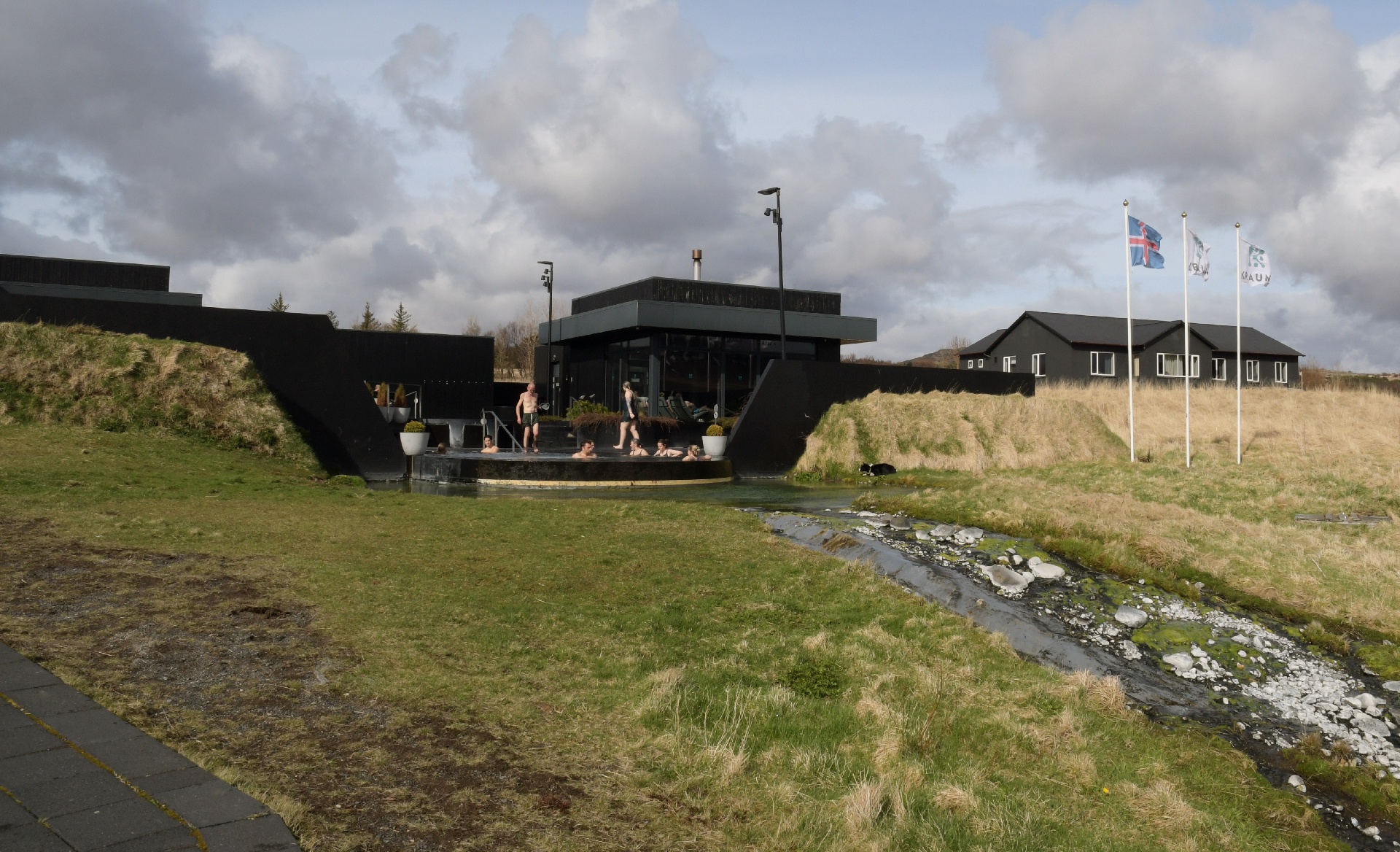
This hotpring resort is located at the site of Iceland's hottest springs, and water from here is piped south to heat homes.
The obvious heat certainly made Yuko happy !
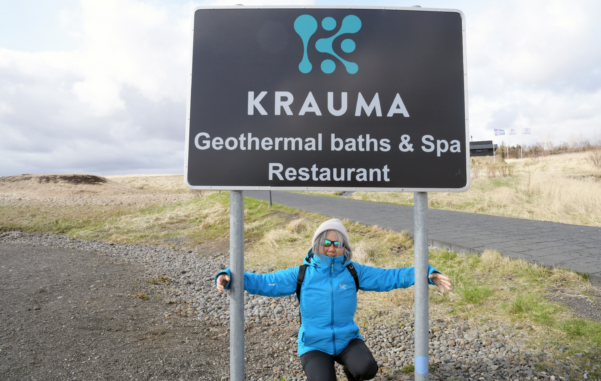
Krauma is in the middle of nowhere, with only a few horse riding camps nearby, yet it was still busy!
...next page.
Back to 2026 page.